FM 1488 Reconstruction
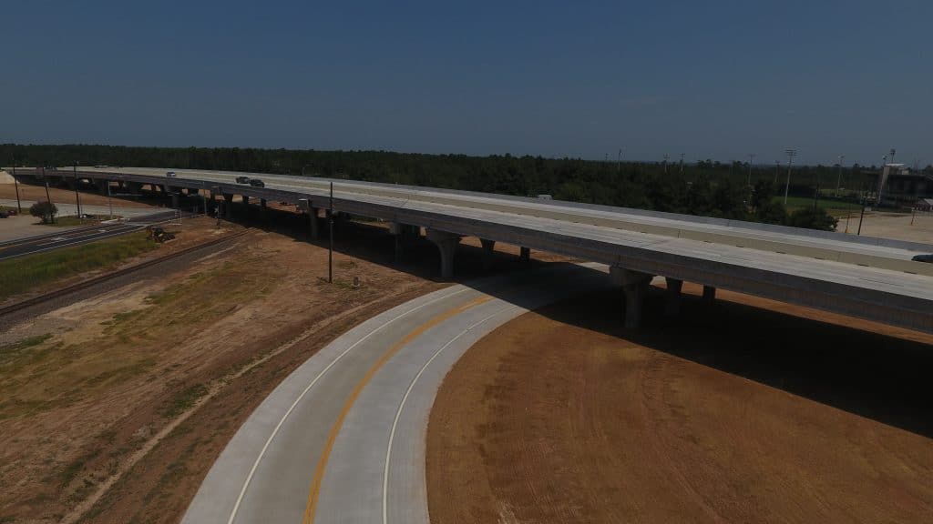
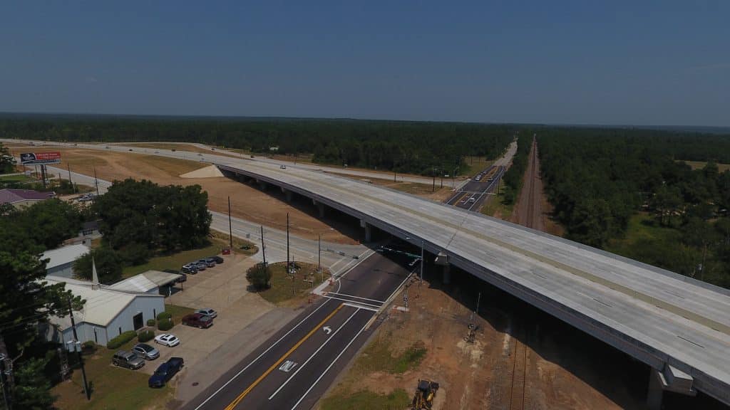
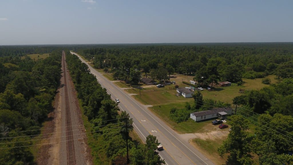
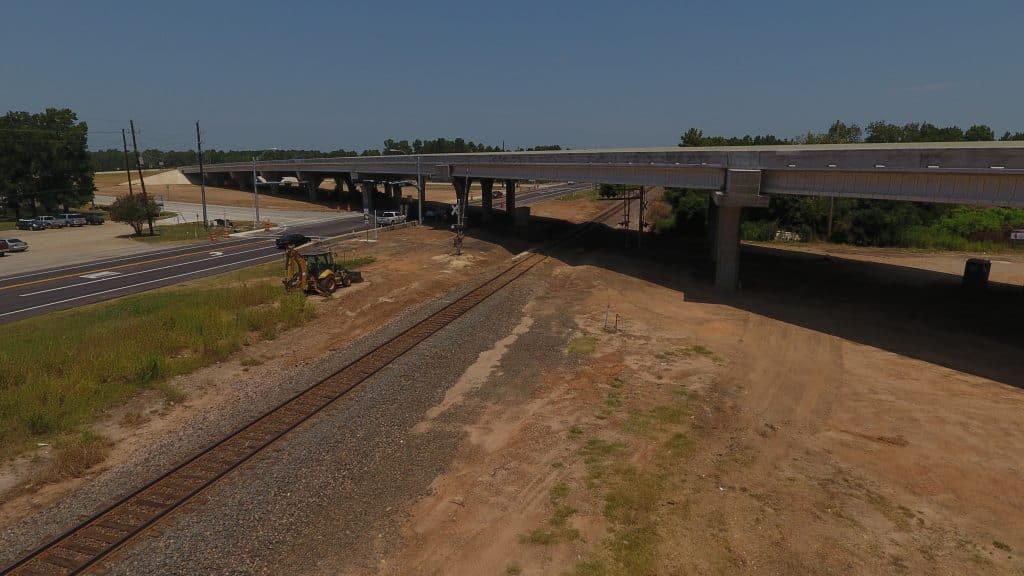
Consor provided project management and design services for the widening and reconstruction of a two-lane rural roadway to a four-lane highway with a continuous left turn lane for a length of 9 miles. Nearly one mile of roadway included curb and gutter with continuous sidewalk. The roadway was designed as a rural section with open ditches. The project also involved PS&E for eliminating at-grade crossing and reconstructing and widening FM 1488 over FM 149 and BNSF Railway. The project involved complex phased construction for a 1600-ft. bridge on a curve. Properties adjacent to the highways were being developed at a rapid pace and required adjustments to ROW takings and alignments. Two miles of the project went thru a forest area. Drainage was a challenge considering limited ROW and limited channel work beyond ROW. We completed the drainage impact analysis for the project which included analysis of nine cross culverts including five bridge class culverts, detention routing, mitigation of additional flows using inline detention, and FEMA flood plain coordination. Several utilities along the project needed adjustment. The project was designed on a fast-track and involved coordination with City of Conroe, Montgomery County Transportation Program, and TxDOT. We were responsible for signal warrants and data collection, signal layouts which encompassed video detection and interconnect with fiber optic cable, signing and pavement markings for the roadway. Project also involved complex traffic control plans for phased construction. Signal design included the installation of a video detection system consisting of VIVDS cameras placed at appropriate locations within the intersection. Intersection design also included elevations, quantities, notes, and the necessary TxDOT standards. We incorporated project manual, estimate, quantities, and notes for pass-thru financing. Our staff worked closely with all entities to assure on-time project delivery.
The project required interagency coordination, since the ROW mapping was performed by Montgomery County. This project was first pass thru toll project let in the State of Texas.


